Few days ago I found out it is not possible to build choropleth maps which are very popular these days for data visualizations entirely within wappler. see this topic
I am hoping this request will get many votes quickly to be implemented within wappler soon.
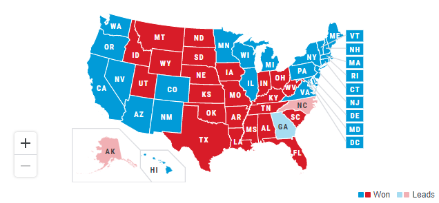
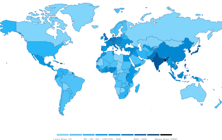
A choropleth Map displays divided geographical areas or regions that are coloured in relation to a numeric variable. Examples below