I have been requested to create a delivery tracker with Google maps. Just wanted to ask if it is possible to make use of the Google maps API using Wappler’s API capabilities.
Thank you!
I have been requested to create a delivery tracker with Google maps. Just wanted to ask if it is possible to make use of the Google maps API using Wappler’s API capabilities.
Thank you!
Hi Niko,
What needs to be done and displayed on the google maps?
Well maybe the route of the vechicle, where it is currently etc. I know this is too generic just making an initial approach, if something like this is more or less possible with Wappler.
Thank you.
PS A good example is the newest Scriptcase template for ‘delivery tracking, integrated with Google Maps APIs, to track the shipping, receiving, receipt, transfer, drivers and delivery of packages.’
Here is the link to the system https://www.scriptcase.net/sistemas/v9/sc_delivery_tracking/app_Login/
and here is a video presentation of it
I am only reffering to the Maps functionallity. All the other stuff I am sure it can be achieved using Wappler with many more customizations.
That’s why i asked if you have a little more detailed info.
I can confirm the truck location can be displayed on the page dynamically  as long as you have that info coming from somewhere
@t11, did you figure out a way to do this? I have a project coming up that is very similar. I have some deliveries that have many dozens GPS points, and I need to display the route that each one took. I can show multiple markers, but not the line joining all of them. Need to do something like this:
Sorry @turn3636 I did not have any progress with this project yet.
Thanks. After playing around I don’t really see a way to add the lines between markers that shows you basically starting point/ending point. @Teodor can you confirm this? Is there a way to do this?
You want to do,this type of thing in Wappler? it’s easy
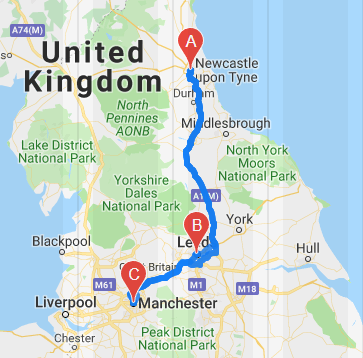
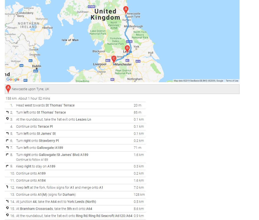
Well I thought about directions, but in my database I have several dozen lat and long coordinates where the truck was, and I want to show the path between all those. Can I use waypoints? I thought that could only be an array of addresses. If I just put a start and a stop and use the directions, it’s not going to really show all the points the truck was at.
Yes this is different than directions. We need to figure out how to ‘draw’ the route of the track on the map. Don’t know if this can be done using the API functionalities of Wappler along wih Google Maps API rather than using Wappler’s Google maps component.
Only way I can think is if you can dynamically add the waypoints to the list as they are reached so the map updates as it moves around. Do the delivery drivers complete some sort of delivery notice when they deliver? Could that process be used to also cause the waypoint to be added?
It’s not really in real time, more after-the-fact. My customer needs to see all the places they stopped at. The GPS device they are using sends out Latitude and Longitude every 2 min and we have all that info. To make the directions feature work, I think I would have to have all those coordinates entered as waypoints. Thanks for the help!
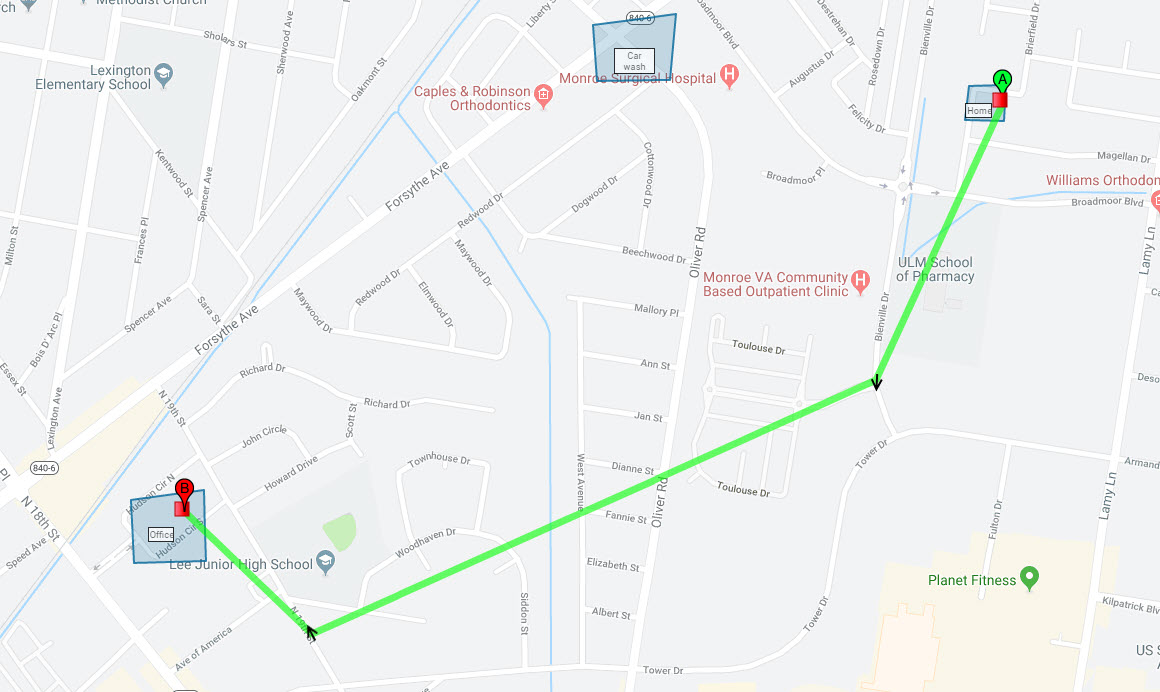
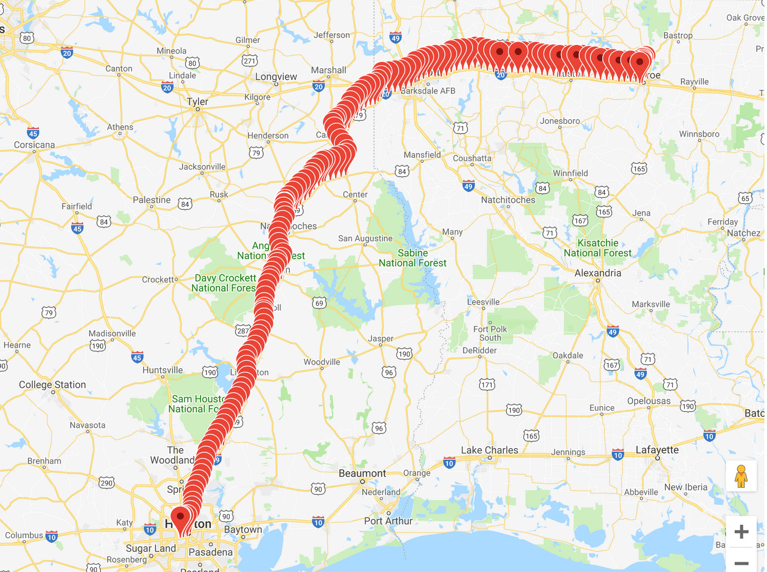
So this is what it looks like when I use all the GPS location info as dynamic markers. It’s a little busy!
Yes a bit busy but it works!
maybe a bit of filtering would help though 
Never used dynamic way points before, never had the need. Just out of interest what are you passing as a data source to the dynamic waypoints?
So on the Map Directions component is the dynamic data only addresses? When I choose a waypoint or origin or destination and use the picker, this is what I get:
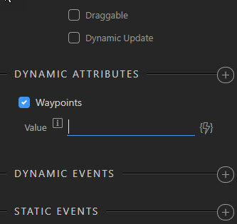
No option for Lat/Long. All of my data that I get is in Lat/Long.
lol, posts crossed, can you pass a lat, lng pair like 55.00000,-2.00000 as a single entity?